
Walk an Athens Street Record
An Athens by-address search works best as a chain, not as one broad name query. Start with one valid street address. The Limestone County Revenue Commission can tie that site to a parcel and titled owner. The map then gives the nearby parcel context. Book and page references lead into recorded instruments, while voter and historical sources can add a careful clue about people connected with the address. None of those steps alone proves who sleeps at a property today.
- Run the address through Limestone County Revenue Citizen Access. Save the parcel number, current owner, property address, mailing address, subdivision, lot, block, and deed references that appear.
- Open the Limestone County Parcel Viewer. Find the same parcel, pan along the street, and click nearby polygons one at a time.
- Use the parcel's book, page, and legal description at the Probate land-record portal. Confirm the grantor, the grantee, and the land description rather than matching on a name alone.
- For a lawful voter-record need, use the individual verification tool or request a list under Alabama rules. Do not present the individual tool as a street browser.
- For an older Athens address clue, check only the verified white-page and directory years, then move to the Archives when modern online coverage ends.
This order guards against a common mistake: assuming that a mailing name equals an occupant. It also preserves the parcel identity when an address has changed. A search for one person rather than a whole address belongs in the Athens resident lookup.
Athens Street Directory Search Fields
Citizen Access offers three starting fields. Its interface accepts a name, a parcel number, or an address. The documented material does not establish a whole-street wildcard or its partial-match rules, so the sound method is to search a complete address and adjust only when the portal returns no match. Once a parcel is found, the county layer supplies far more detail than the three entry fields suggest.
| Search field | Input | Required | Useful result |
|---|---|---|---|
| Name | Owner name | No | Parcels tied to the entered owner |
| Parcel Number | County parcel identifier | No | A precise tax parcel |
| Address | Property street address | No | Owner, parcel, values, tax and map links |
The published Limestone parcel field schema confirms separate owner, mailing, property, ZIP, neighborhood, subdivision, lot, block, book, page, acreage, value, record-year, and parcel fields. That distinction makes the Athens street directory useful for property research without turning it into an occupant list.
The official schema is visible in this captured county source:
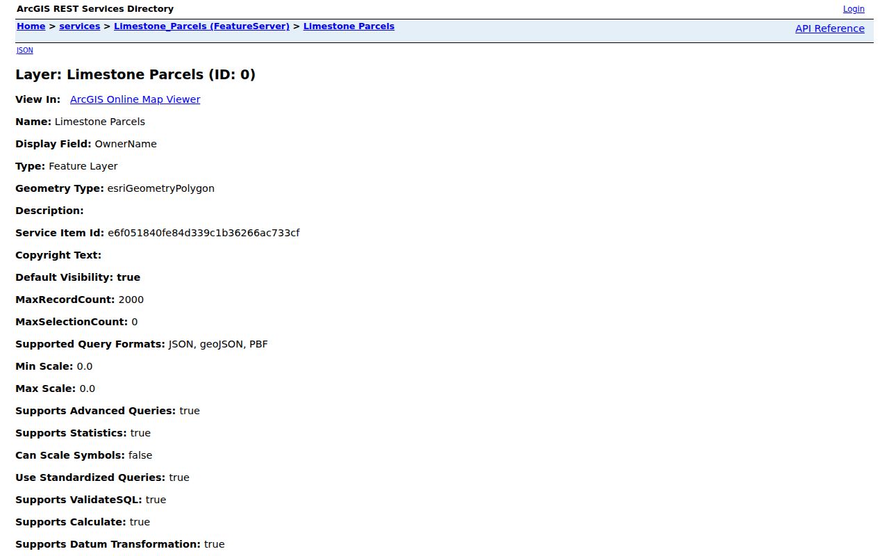
The field list shows why address research should retain both parcel identity and the separate mailing and situs fields.
Athens Mailing and Situs Clues
The county schema separates the owner's tax-contact address from the property's situs address. Situs means the physical place of the parcel. A mailing address is where the tax notice goes. If those differ, the record may suggest an owner receives mail elsewhere, but it does not prove vacancy, occupancy, or the identity of any resident. That small distinction is one of the most useful checks in an Athens by-street search.
- Parcel
- A mapped unit of land with its own county identifier and tax record.
- Situs address
- The street location assigned to the property itself, distinct from the owner's mailing address.
- Plat
- A recorded drawing that lays out lots, blocks, streets, and subdivision boundaries.
- Criss-cross directory
- A directory arranged by address or street instead of only by a person's surname. No official local run was verified for Athens.
Legal descriptions are the more durable link. Lot, block, subdivision, and book/page can hold the chain together through annexation, a replat, or a rural-route change. No authoritative citywide Athens renumbering year was found, so old and new numbers should never be joined by guesswork.
Athens Records Indexed by Address
No single roll is a full Athens street directory. The Revenue Commission owns the current property layer. Probate holds deeds and other recorded instruments. City offices add permits, while voter material and verified directory editions can supply narrower evidence under their own access rules. The right source depends on whether the question concerns title, a building, registration, or a past snapshot.
| Address source | Custodian | What it can show | Access and limit |
|---|---|---|---|
| Property roll | Limestone Revenue Commission | Owner, separate mailing and situs data, values, parcel and deed bridges | Free Citizen Access; owner is not proof of occupant |
| Parcel GIS | Limestone County and Athens | Parcel shape, adjacency, city limit, zoning and legal context | Free viewers; city zoning applies only in city limits |
| Recorded deeds | Limestone Judge of Probate | Grantor, grantee, conveyance and legal description | Vendor or office; modern online cutoff is not published |
| Historic deeds and plats | Limestone County Archives | Older parties, volumes, pages, tax and subdivision evidence | Index and some images online; copies by order or in person |
| Voter list | Alabama SOS and county registrars | Available registration and residence-address fields | Requested, paid and subject to protected entries |
| Permits | Athens Building and City Clerk | Site, work, date and applicant evidence | GovWell for current matters; request the legacy trail |
Older Athens white pages cover verified spans from 1968 through 1981, and state archives hold Athens-bearing directories for 1996, 1998, and 2001. They are snapshots, not complete resident rolls. The historical shelf is treated in depth in the Athens city directory.
Note: A by-address result is strongest when two independent records agree on both the parcel and the relevant date.
Map Athens Streets Parcel by Parcel
The county viewer supports the visual part of by-street research. Locate the target, zoom until parcel lines are clear, and select the surrounding polygons. The underlying service supports geometry, extent, centroid, distance queries, sorting, pagination, and a 2,000-record maximum. However, no labeled public radius or buffer control was verified in the viewer. A street search should promise only the tools the public interface clearly offers: pan, zoom, and individual parcel selection.
Athens city GIS adds the municipal limit and zoning layer. Its July 2025 release measured the mapped city limit at 42.15 square miles. Historical aerials exist for 2005, 2009, 2013, 2016, 2020, and 2025. Those images may show when a structure or site changed, but they do not identify a household. Downloaded city data packages cost $50 per section, roughly one square mile, while the viewers themselves provide free access.
Map tip. Keep the parcel number and legal description beside every screen note; street labels alone can drift as Athens grows.
Athens Streets Meet Probate Deeds
A parcel's book and page references form the bridge from a street address to the county recorder. The ING Probate land-record portal offers land-record and probate-case routes, but its landing page does not publish the modern cutoff, full fields, image prices, or complete payment terms. Search the present owner and deed reference, then verify that the instrument describes the same land. In a deed, the grantor conveys an interest and the grantee receives it.
To walk backward, identify the seller on the purchase deed. Search that seller as a prior buyer, then compare the legal description. Repeat only while the same parcel can be shown. The Limestone County Judge of Probate is at 100 S. Clinton Street, Suite D, and holds deeds, plats, mortgages, liens, estates, wills, and other listed record classes. Office access is available on weekdays from 8 a.m. to 4:30 p.m.; the phone is 256-233-6427.
When the online trail stops, the County Archives has cataloged deeds from at least 1825 and broader county holdings from 1818. That fallback matters because no modern online cutoff has been verified.
Athens Street Permits Changed Channels
Building records add a site and work chronology. Athens launched GovWell for applications and plan review on April 1, 2026. Applicants can submit, track, and access their own matter, but the research did not establish a public browse of other applicants' permits. The safe Athens address method is to use the portal for its documented function and ask the Building Department or City Clerk for releasable property records.
The Athens GovWell permit portal is shown in the captured source below:
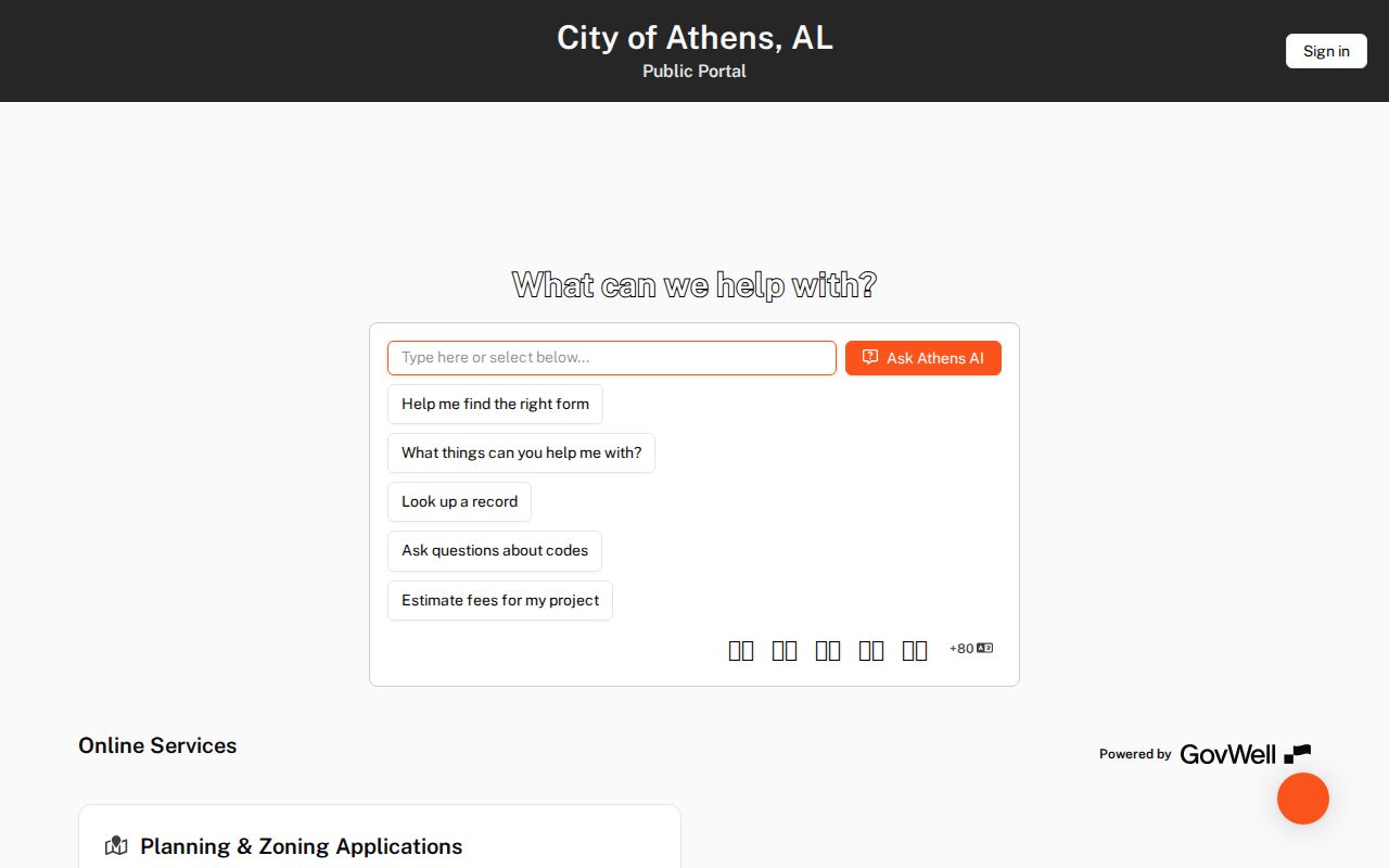
The portal marks the current channel, while a complete site trail may still require legacy Incode or server records through Building or the Clerk.
The Building Department is at 200 W. Hobbs Street and can be reached at 256-233-8715. A request should name the exact property, record type, and date range. Athens warns that its city public-record request can carry a $75 standard response fee plus research and copy costs, with payment before release.
Athens Street Directory Voter Limits
Alabama's individual My Voter Page verifies a voter's own status and polling place. It was not shown to support browsing a whole Athens street. A separate voter-list request under Ala. Code §17-4-38 can select a county, city, district, status, delivery method, format, and sort order. Available list fields may include residence and mailing addresses, but protected records and inactive status limit what a street result means.
Electronic lists cost one cent per voter, while printed lists cost $1 per page. The request goes through the Alabama Elections Division, and the Limestone Board of Registrars at 100 S. Clinton Street, Suite E, remains a local access point. Historic voter registrations are held by the Archives. Even then, a voter list is not a census. Alabama does not register voters by party, and participation history shows elections voted, not ballot choices.
Note: Never infer an unlisted Athens household from the absence of a voter record; age, eligibility, status, and protection rules all matter.
Athens Streets Survived the Fire
The 1835 Limestone County courthouse burned during the Union occupation in May 1862. That fact is not proof that every early Athens street record vanished. The Archives indexes Circuit material back to 1818 and deeds from at least 1825. Its 6,000-plus books and files also include tax, voter, will, court, school, marriage, and plat material. The story is one of uneven survival, not total destruction.
Use the Archives Master Index by entering a surname as “Last Name, First Name” or an initial, then search Names, Places, Descriptions, all fields, or a record class. Underlined entries open images. Other indexed documents may be ordered for $1 each and emailed; certified copies are $5. Print and circle requested items, mail payment, and allow two to four weeks. Staff will copy identified records but do not conduct open-ended research.
That combination gives Athens by-street research a long historical fallback. It also requires care: old place names, sparse directory years, and damaged volumes can produce gaps without proving that a person was absent.
Check Athens Street Jurisdiction
An Athens postal address does not by itself prove that a parcel lies inside the city. County GIS covers the county, while city maps identify Athens limits and zoning. Annexation ordinances carry legal descriptions and maps, and they are recorded with Probate. A request for city permits or municipal code records should first confirm that the parcel was in city jurisdiction during the date being researched.
Address labels can also shift after an annexation, subdivision replat, or rural-route conversion. Use a legal description to bridge those labels. City minutes, plats, and recorded annexation instruments are stronger than an assumed boundary drawn from the postal city name. The research found no official citywide renumbering event or year, so a missing older address should lead to a parcel and plat search, not a made-up conversion.
Limits of an Athens Street Directory
Ownership records name titled owners, not all residents. They do not disclose every occupant, household member, utility customer, or person staying at an address. A permit identifies a site, project, or applicant, not a full household. Sanborn maps from 1888 and 1905 show building footprint, use, and material rather than occupants. Likewise, the verified white pages and later directories cover selected years and subscribers, not every Athens resident.
Some address information is closed or removed for safety. Ordinary motor-vehicle personal data is not a public street roll. Domestic-violence filings omit protected plaintiff and household addresses, phone numbers, and shelter locations. Certain public officials and their spouses may use a protected-voter affirmation. Those safeguards are part of the records system, not defects to work around.
Lawful use. Use Athens address records only for lawful personal research, and never to stalk, harass, intimidate, or harm another person.
A careful result states exactly what the source proves: titled owner, tax contact, voter-list entry, deed party, permit applicant, or historical subscriber. It does not turn any one of those labels into a claim about the current household.